Doctor of Philosophy (Ph.D.)
Meteorology
Saint Louis University
2016

Joseph L. Wilkins, Ph.D. works as an assistant professor at Howard University. His research focuses on remote sensing tools and air quality model development. He earned a B.S. in Atmospheric Science and minored in Physics at the University of Louisville, and later completed his M.S. and PhD in Meteorology with a concentration on Air Quality and Pollution at Saint Louis University. Dr. Wilkins is one of the leading researchers in the fire modeling community, and has published manuscripts, spoke at technical conferences, and communicates his research across many governments and academic institutions globally. The overall goal of his research program is to increase BIPOC participation in atmospheric research by creating workforce ready competent programmers and scientist.
Meteorology
Saint Louis University
2016
Advanced Remote Sensing and Geographic Information Systems (GIS)
Saint Louis University
2016
Meteorology
Saint Louis University
2013
Atmospheric Science, Minor: Physics
University of Louisville
2011
This 1-credit hour course will review and discuss the current literature in atmospheric science in a journal club format. Students are expected to listen to seminars, periodically review articles, participate in discussions, and prepare questions for the presenter. Students will be expected to fill out an speaker evaluation form and write a 1-to-2-page short summaries related to each weekly topic by the preceding course date. Students may be required to present their own presentations, but are all expected to actively participate in class and online discussion forums. Outside speakers from NOAA, NASA, other agencies, and Universities will also be invited to provide their perspective.
This 3-credit hour course will allow students to become familiar with numerical weather prediction (NWP) models, use statistical methods and software to analyze results, and implement scientific communication techniques to share their findings with broad audiences. The course involves learning and developing the skills to (1) identify appropriate data sources, (2) obtain relevant data including quality checking, (3) load data into computing packages such as Matlab or R, (4) decide what outputs the programs should provide to address specific scientific questions, (5) design algorithms and write programs/codes to read data, implement quality assurance, and check results for correctness, (6) run programs to work with large datasets and format outputs into a usable form, (7) analyze outputs using statistical methods to address scientific questions, (8) write reports and design effective visualizations of the results to communicate scientific findings to the intended audience in appropriate production formats, and (9) document the data processing and results.
DOE; NASA; NOAA; NSF; U.S. FS; U.S. EPA
Postdoctoral Research Scientist: Fellowship US FS AirFire Team and the University of Washington School of Environmental and Forest Sciences. July 11, 2020 - August 16, 2021
Ashley Walker - PhD Candidate
Mumin Adbulahi - PhD Candidate
Zhifeng Yang - Postdoc
Read: WHYY | New Castle County residents seek accountability from Delaware City Refinery, regulators
Read: The Washington Informer | Wildfire Smoke Returns to D.C.
Scientists, planners, foresters and fire managers, fire safety, air quality, and public health practitioners must collaboratively work together. This article is the result of a series of transdisciplinary conversations to find common ground and subsequently provide a holistic view of how forest and fire management intersect with human health through the impacts of smoke and articulate the need for an integrated approach to both planning and practice.
Air quality models are used to assess the impact of smoke from wildland fires, both prescribed and natural, on ambient air quality and human health. However, the accuracy of these models is limited by uncertainties in the parametrisation of smoke plume injection height (PIH) and its vertical distribution. We compared PIH estimates from the plume rise method (Briggs) in the Community Multiscale Air Quality (CMAQ) modelling system with observations from the 2013 California Rim Fire and 2017 prescribed burns in Kansas. We also examined PIHs estimated using alternative plume rise algorithms, model grid resolutions and temporal burn profiles. For the Rim Fire, the Briggs method performed as well or better than the alternatives evaluated (mean bias of less than ±5–20% and root mean square error lower than 1000 m compared with the alternatives). PIH estimates for the Kansas prescribed burns improved when the burn window was reduced from the standard default of 12 h to 3 h. This analysis suggests that meteorological inputs, temporal allocation and heat release are the primary drivers for accurately modelling PIH.
We analyze new aerosol products from NASA satellite retrievals over the western USA during August 2013, with special attention to locally generated wildfire smoke and downwind plume structures. Aerosol optical depth (AOD) at 550 nm from MODerate Resolution Imaging Spectroradiometer (MODIS) (Terra and Aqua Collections 6 and 6.1) and Visible Infrared Imaging Radiometer Suite (VIIRS) Deep Blue (DB) and MODIS (Terra and Aqua) Multi-Angle Implementation of Atmospheric Correction (MAIAC) retrievals are evaluated against ground-based AErosol RObotic NETwork (AERONET) observations.
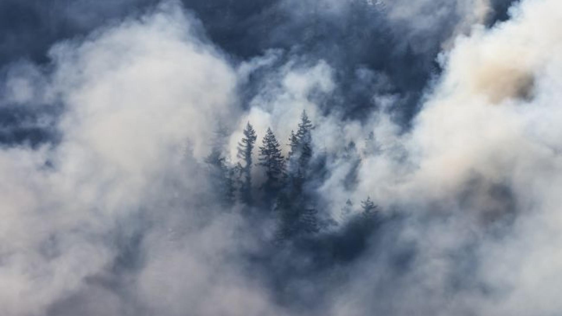
Smoke impacts from large wildfires are mounting, and the projection is for more such events in the future as the one experienced October 2017 in Northern California, and subsequently in 2018 and 2020. Further, the evidence is growing about the health impacts from these events which are also difficult to simulate. Therefore, we simulated air quality conditions using a suite of remotely-sensed data, surface observational data, chemical transport modeling with WRF-CMAQ, one data fusion, and three machine learning methods to arrive at datasets useful to air quality and health impact analyses. To demonstrate these analyses, we estimated the health impacts from smoke impacts during wildfires in October 8–20, 2017, in Northern California, when over 7 million people were exposed to Unhealthy to Very Unhealthy air quality conditions. We investigated using the 5-min available GOES-16 fire detection data to simulate timing of fire activity to allocate emissions hourly for the WRF-CMAQ system.
Here we study ozone impacts in a Midwestern city, for the first time in St. Louis, Missouri, using a series of ozonesonde profiles taken during the Studies of Emissions and Atmospheric Composition, Clouds and Climate Coupling by Regional Surveys (SEAC4RS) field campaign in August–September 2013.
Howard University works to regain the university's R1 status after criteria changes removed the HBCU's ranking.