Doctor of Philosophy (Ph.D.)
History
New York University
2016

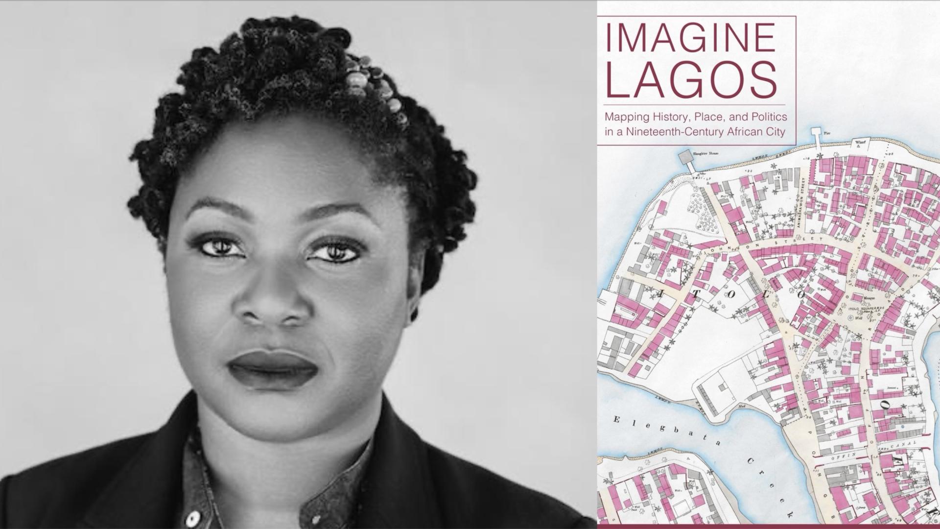
Trained as both historian and computer engineer, Ademide Adelusi-Adeluyi’s research into the history of West African cities combines a set of interdisciplinary interests in maps, mapmaking, and digital humanities. Her 2024 book, Imagine Lagos: Mapping History, Place and Politics in a 19th Century African City, explores the city’s 19th-century history, rebuilding its past as a series of encounters: between men and women, between the past and present, enslaved and free, Eko (the old town) and Lagos, and between the land and lagoons. The maps and data sources are available online at imaginelagos.com
She has published academic work on Lagos, digital humanities, women and space, and mapmaking, and in 2019, her maps and research were featured in Journey of an African Colony, a Netflix documentary. Her research has been funded by the Andrew Mellon, Woodrow Wilson and Hellman foundations. She teaches classes on Africa, urban history, digital storytelling and maps at Howard University, where she is an Associate Professor of History. Prior to joining Howard, she was an Andrew Mellon postdoctoral fellow at Rice University’s Humanities Research Center, and Associate Professor of History at UC Riverside. She received her PhD in History from NYU in 2016.
For more on her maps and visualizations of Lagos, visit newmapsoldlagos.com
History
New York University
2016
Africana Studies
New York University
2007
Computer Engineering
Northeastern University
2003
Written from a digital humanities perspective, this book combines historical sources, maps, and a walking cartography to create new perspectives on the nineteenth-century history of Lagos, West Africa’s most populous city.
Co-Principal Investigator: Andrew Mellon Foundation, Sawyer Seminar Series Award for “Unarchiving Blackness.($225,000), 2021-23.
Read: Ohio Today | Ohio University Press books garner top honors in African studies
Imagine Lagos: Mapping History, Place, and Politics in a Nineteenth-Century African City
This book addresses the spatial history of nineteenth-century Lagos, rebuilding its past as a series of encounters: between men and women, between past and present, between enslaved and free, between living and dead, and finally between land and lagoon. In Imagine Lagos, Ademide Adelusi-Adeluyi argues that the invention, destruction, and reinvention of spatial markers in Lagos—the streets, markets, roads, squares, palaces, and lagoons where these encounters occurred—was crucial to negotiations over identity, power, and freedom.
Urban Slavery along the West African Coast
The urban history of coastal West Africa became entangled with the Atlantic slave trade beginning in the 15th century, but it is also an outcome of longer regional histories of urbanism. From northern Senegal to southeastern Nigeria, coastal communities that had once been on the periphery of larger interior settlements grew in importance with the expansion of Atlantic commerce that by the 18th century was dominated by slave trading. By putting slavery and urban history into the same analytical framework, scholars have explored distinctions between rural, plantation, and city-based slavery, while also exploring the ways in which these cities are tied to the West African interior and the wider Atlantic world. In distinguishing between the experiences of men and women, and the impact of age on slavery, they have shown how urban slavery was often characterized by the paradoxes of forced labor and increased mobility and autonomy. To review the nature and evolution of urban slavery over time and space in these towns and cities, scholars draw on conclusions from the literature on cities on the West African coast: including Saint Louis du Senegal, Cape Coast, Ouidah, Lagos, Bonny, and Old Calabar.
Africa for the Africans?’: Mapmaking, Lagos, and the Colonial Archive in History in Africa 47, no. 1 (2020): (pp. 275–296).
In early colonial Lagos, struggles over race, place and identity were played out over ownership of land, and ended with the displacement of sections of the indigenous population. “Africa for the Africans” combines texts and maps to narrate the history of 1860s Lagos. This article demonstrates how, with Geographic Information Systems (GIS), European colonial maps can be used to analyze the significance of changing urban spatial relationships in 1860s Lagos. Though much of this analysis employs GIS, it also leans heavily on other tools for making timelines, story maps and vector diagrams. This process of creating digital representations of the past also has pedagogical applications, as these methods can be extended to the classroom for undergraduates learning about African history.
Mapping old Lagos: digital histories and maps about the past
As digital projects continue to grow in popularity, traditional concerns around evidence and argumentation linger. Some of these concerns are very old, such as the consequences of using European sources to write the history of West Africa. In response to this, some scholars have turned to digital platforms to expand the range, analysis, and design of their historical research. New Maps of Old Lagos, for instance, is a web-based collection of cartographic narratives focusing on the history of Lagos. It demonstrates how, with ArcGIS and other mapping tools, European colonial maps can be used in combination with indigenous knowledge as sources to reconstruct local urban spatial patterns in old Lagos. In the eighteenth and nineteenth century, Yoruba-speaking peoples settled and built towns and cities on West Africa’s Bight of Benin. However, very little evidence of the history of cities like Lagos exists outside of oral traditions passed down through generations, and beneath the uneven settlement of the British colonial city that was built on top of and around it. New Maps deploys archival evidence and urban fieldwork to begin the process of plotting the old city by finding its boundaries, its physical features, and plotting meaningful sites and scenes around Lagos Island.
Troubled waters: rewriting environmental histories of Lagos, 1882–1921
The filling of the lagoons and creeks that framed the city and island of Lagos changed the relationship between people, power, land and the water at the turn of the nineteenth century. As elites in the city negotiated power with British colonial administrators, ordinary Lagosians pushed back against the measures that threatened to displace them and rewrite cultural space through the demands and logics of ‘slum clearance’ and anti-malarial campaigns. This article examines how these struggles over water, land and urban space were the catalysts for cultural change.